Leger Education Trust
Route Planning
Route Planning & Navigation
Route planning is one of the most important parts of your DofE expedition. It isn't just about drawing a line on a map; it’s about understanding the terrain, calculating timings, and preparing for the physical challenge ahead.
At Leger Education Trust, we use the eDofE Mapping tool and traditional OS Maps to ensure every team is prepared for their journey.
The 6 Steps of Route Planning
To create a successful route, every group must follow these steps during their training sessions:
-
Identify Your Start and End Points: Based on the campsites provided by the Trust.
-
Select Your Path: Using 1:25,000 OS maps, look for public rights of way, bridleways, and footpaths. Avoid busy A-roads and dangerous terrain.
-
Break it into "Legs": A route is made up of several "legs" (point A to point B). Each leg should have a clear "checkpoint" or transition point.
-
Calculate Timings (Naismith’s Rule): We teach you how to estimate your speed. Usually, we allow 1 hour for every 4km of flat walking, plus 1 minute for every 10m of ascent.
-
Plan Your "Aim" Stops: You must include time for breaks and your specific expedition project (e.g., stopping for 30 minutes to take photos or conduct a survey).
-
Create a Route Card: This is your 'sat-nav' on paper. It lists every leg, the direction (bearing), the distance, and how long it should take.
Technical Resources
Use these links and tools to help build your route cards for the 2025/26 season:
- Sign In | eDofE: Log in to your account to use the official DofE mapping software. You can plot your route and it will automatically calculate distances and grid references.
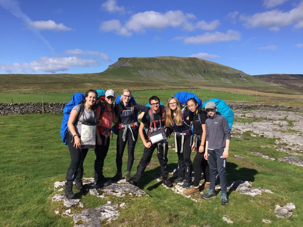
- Detailed maps & routes to explore across the UK | OS Maps: A great tool for scouting terrain and looking at 3D aerial views of the Peak District or Yorkshire Dales.
- Gold Award Group Routes can be found at the bottom of this web page.
Navigation Skills Syllabus
We cover the following navigation essentials:
-
Grid References: Mastering 6-figure grid references to pinpoint your exact location.
-
Contour Lines: Understanding how to read the 'shape' of the land and identify steep hills versus flat valleys.
-
The Compass: Learning how to set a map and walk on a magnetic bearing—essential for when visibility is low or paths are unclear.
-
Pacing and Timing: Using your watch and your stride to know exactly how far you have travelled.
Route Planning Rules
To pass your expedition assessment, your route must meet these DofE requirements:
-
Bronze: Minimum of 6 hours of planned activity per day (at least 3 hours must be spent journeying).
-
Silver: Minimum of 7 hours of planned activity per day (at least 3.5 hours must be spent journeying).
-
Gold: Minimum of 8 hours of planned activity per day (at least 4 hours must be spent journeying).
Staff Approval: All routes must be checked and signed off by a Trust Expedition Leader at least 2 weeks before you depart. We check for safety, appropriate distance, and sensible escape routes.